Novara-Badia di Dulzago-Proh-Caltignaga-Novara (59.6 km)
Schegge del tempo
Questo giro ce l'avevamo in canna da un po' di tempo. Un anello nel nordovest della campagna novarese a caccia di pezzi di storia noti e meno noti conficcati nel terreno argilloso fra i campi di riso, come frammenti sopravvissuti all'esplosione di un futuro che è per noi comunque già passato.
Si parte in direzione di Bellinzago, lungo una sterrata che affianca il Canale Regina Elena. A destra la statalona del Lago Maggiore che corre, fregandosene di tutto tranne, forse, della destinazione, qualunque essa sia. A sinistra l'ormai noto scacchiere delle risaie trasformato quasi ovunque in stoppie e rotoloni di fieno in attesa di rallegrare le mangiatoie del bestiame durante l'inverno.
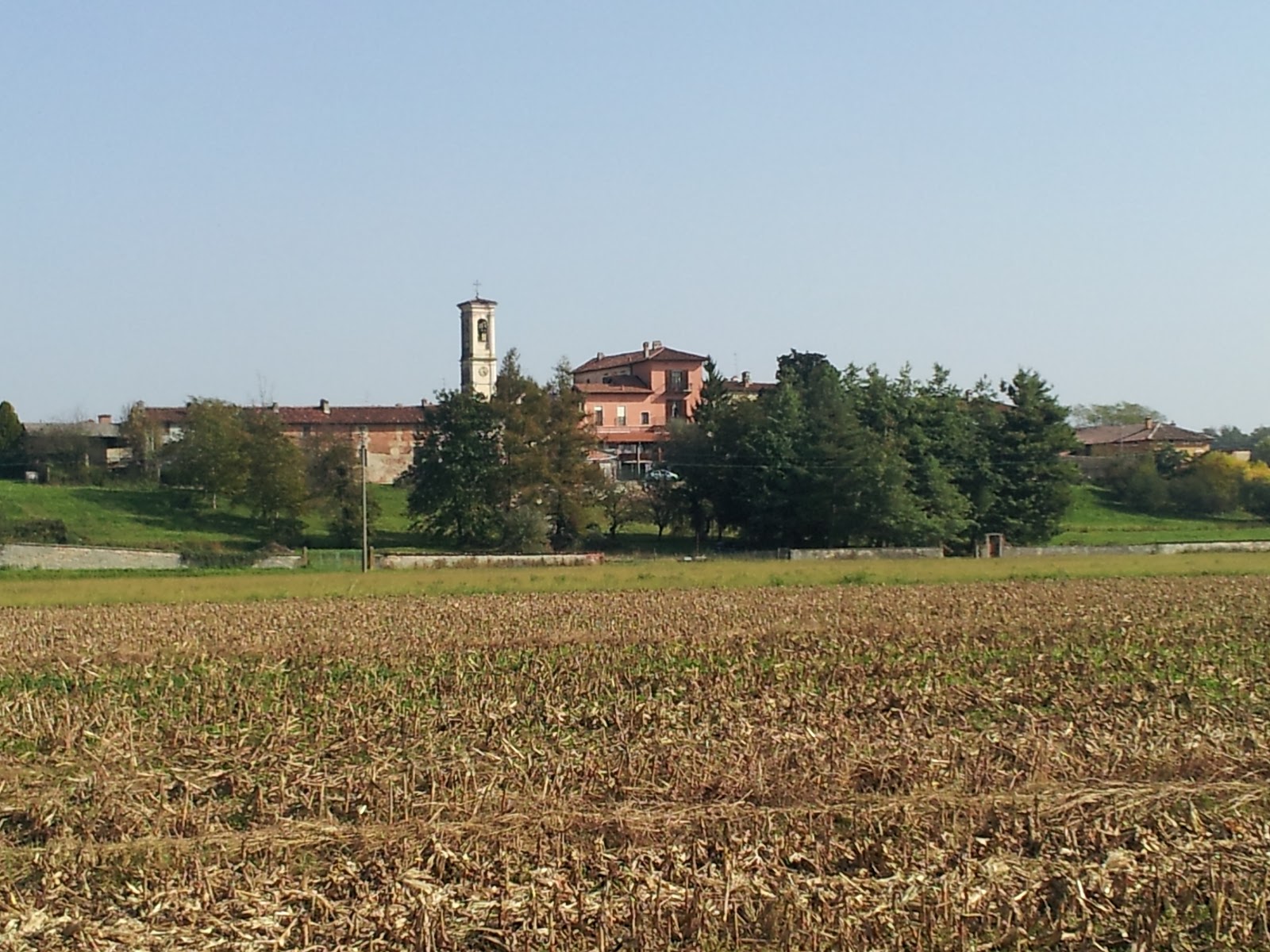
All'altezza di Cavagliano prendiamo per i campi e, spaventando ora un fagiano ora una cornacchia, puntiamo verso la Badia di Dulzago, antico centro religioso e agricolo fondato nel XII secolo dai Canonici Regolari e dedicato a San Giulio, il Santo che pare abbia liberato l'omonima isola sul Lago d'Orta da draghi e bestie feroci prima di installarci il suo quartier generale.
Verso la metà del 1400 la badia finì nelle mani dell'Abate commendatario Leonardo Sforza (fratello di Galeazzo Maria) che capì dove stava il business molto più dei canonici e la trasformò in un attivo centro agricolo. I contadini ci vivevano, lavoravano e spesso lì morivano, trovando ospitalità eterna nel piccolo cimitero appena fuori del perimetro della badia.
Quando arrivò Napoleone non si fecero troppi complimenti. Sequestrò tutto quanto, intensificò la produzione di riso ed ebbe risotto a volontà per lui, la famiglia e gli accoliti per molti anni a venire. La tenuta ritornò in mani italiane, per la precisione al Conte Vitaliano Borromeo Arese, verso la metà dell'800. Successivamente la famiglia Borromeo parcellizzò e rivendette la tenuta, decretando al tempo stesso la fine di questo microscopico pezzo di società.
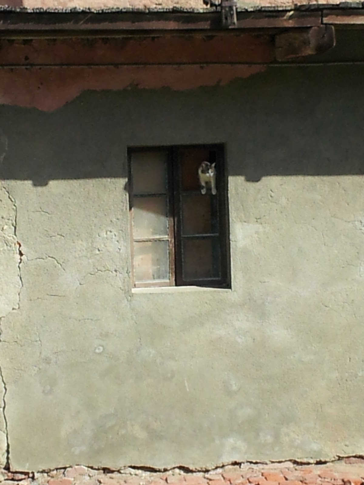
Dopo un panino, sgranocchiato camminando fra le corti e spiando negli appartamenti ormai disabitati dei contadini, giochiamo un po' con i gatti, che sembrano gli unici abitanti rimasti alla badia (anche se qualche casa risulta chiaramente abitata). Poi partiamo, che la giornata avanza, mentre noi molto meno, per ora. Dopo neanche un minuto siamo già fermi per una sosta al cimitero, diroccato ma ben tenuto. Poche lapidi, ma chissà quanti volti, storie, speranze, fatiche, vite intere spese nella terra e nel fango. E noi qui che ci pare di fare chissà che cosa a pedalare qualche ora e cercare di mettere insieme pochi frammenti di un passato che ci è alieno almeno quanto E.T.
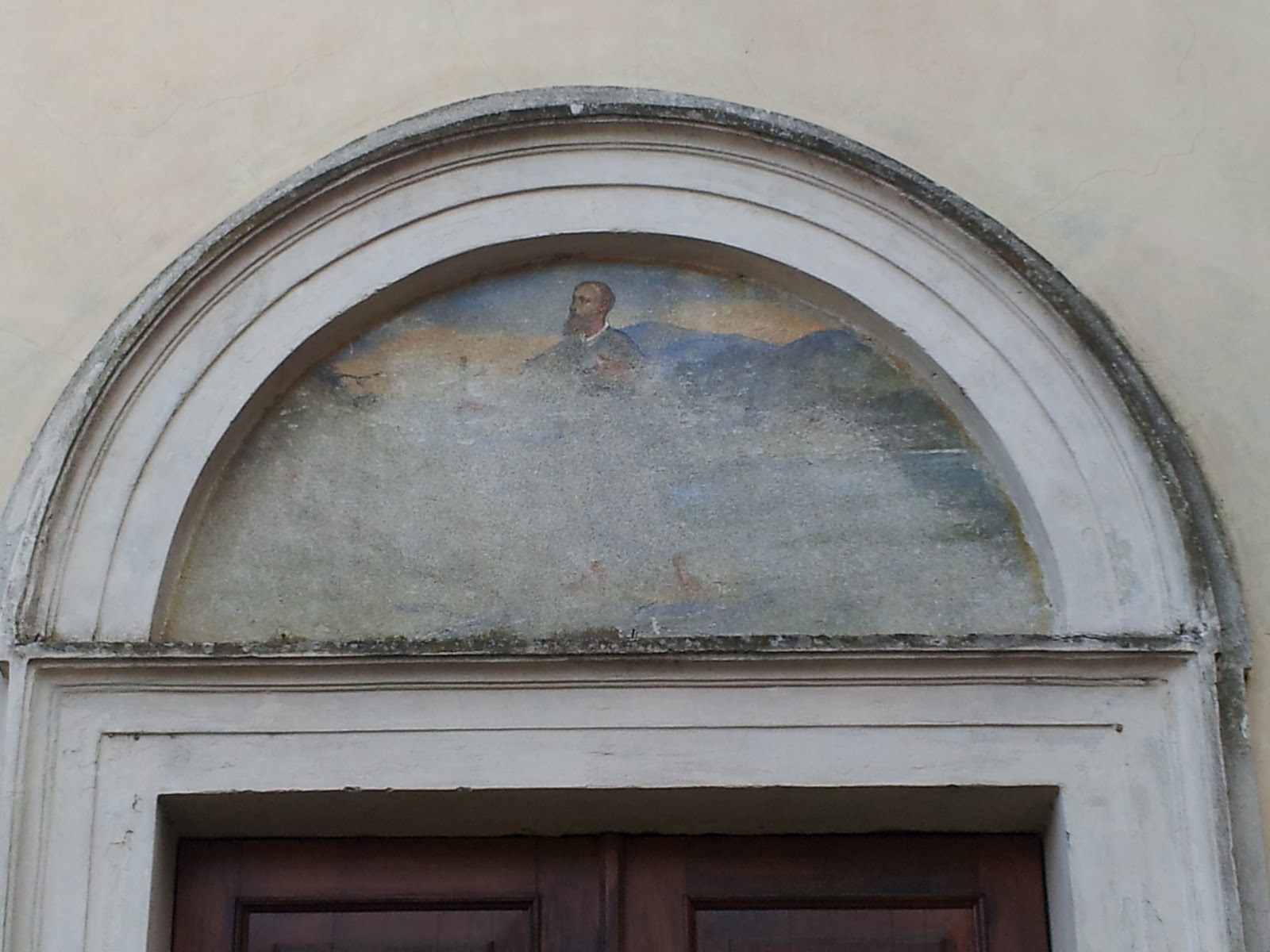
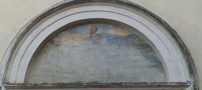
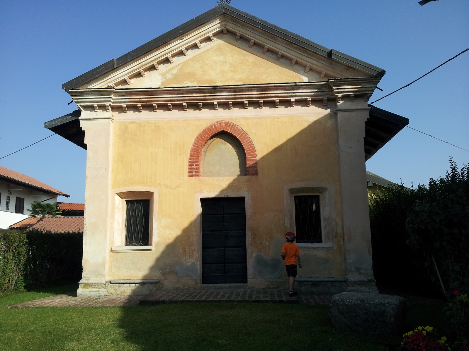
Quando ripartiamo puntiamo la ruota anteriore verso ovest, in direzione della statale del Lago d'Orta. Passando per un piccolo gruppo di case di campagna appena fuori Momo l'occhio mi casca su una chiesetta dalla facciata giallo-ocra. Ci fermiamo e torniamo sulle nostre tracce per inoltrarci nel borgo. La chiesetta è, tecnicamente, un oratorio del XIV secolo. Una targa riempie, per quel che è possibile, i nostri abissi di ignoranza informandoci che l'oratorio di Santa Maria, come anche il centro abitato di Linduno, erano legati alla Badia di Dulzago e da essa dipendevano fino a che, verso il 1500, l'oratorio non venne abbandonato dai canonici ed utilizzato come magazzino. Purtroppo la chiesa apre solo una volta l'anno, il 25 aprile (strana data, davvero), per cui dobbiamo rinunciare agli affreschi che ne ornano l'interno.
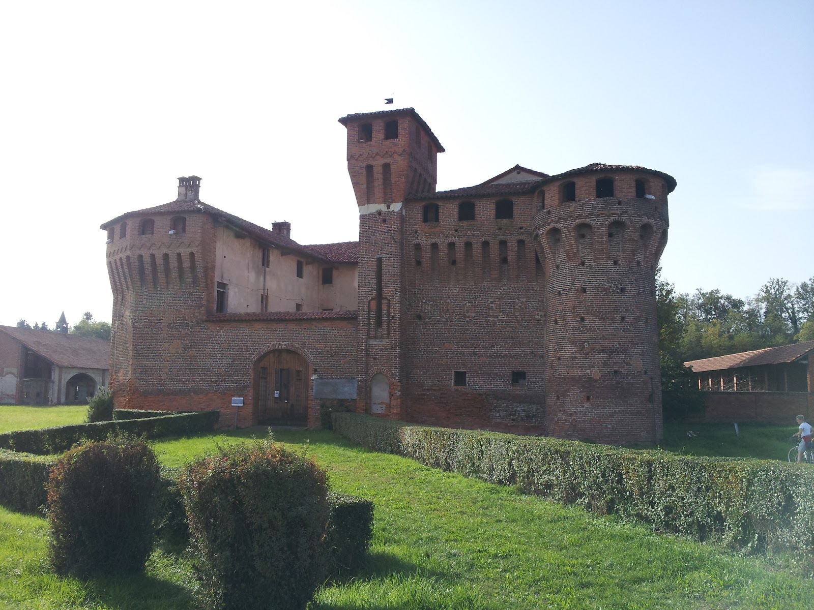
Si pedala sempre verso ovest, in direzione delle colline di Briona, che lambiamo appena, senza affrontarle. Anche se ai castelli di Agnellengo (trasformato in un ristorante) e di Proh (rifatto all'esterno, un po' stile Carcassonne, e abbandonato all'interno) dedichiamo giusto una merenda, (visto che ormai la sera avanza anche se c'è ancora l'ora legale a darci una mano), non possiamo non gustare una ciliegina inaspettata prima della volata finale: un ponte medievale sulla Roggia Mora che se non ci sbatti contro non c'è verso di vederlo. Lo notiamo quasi per caso, grazie ad un cartello che attira la nostra attenzione lungo la sterrata che affianca la roggia.
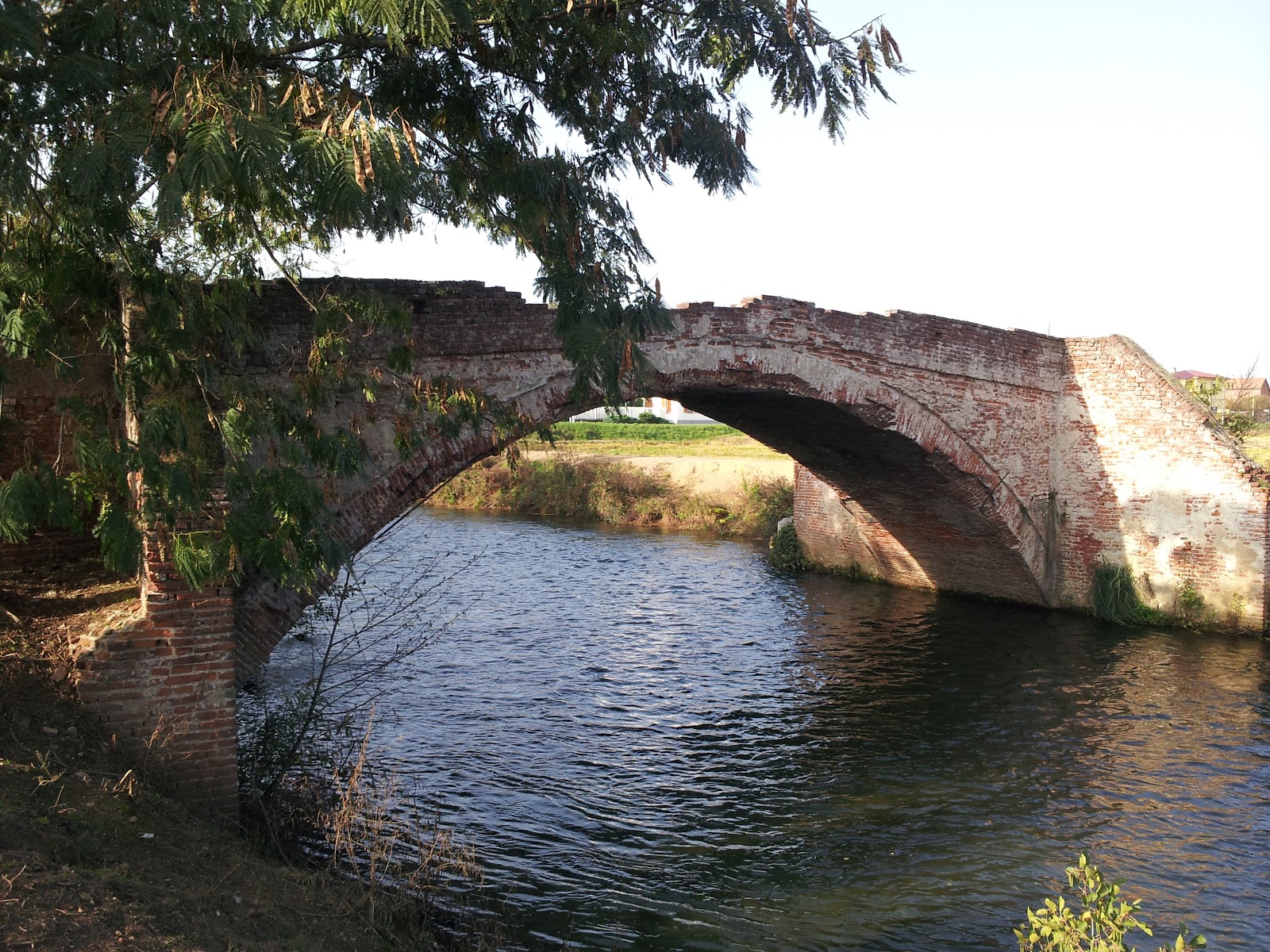
È un ponte a schiena di mulo che veniva utilizzato anche come luogo di riscossione di dazi e gabelle. Saliamo sul ponte e chiedo a Franci di farmi una foto. Mentre sono in posa da Indiana Jones, Franci mi fa: “Papà un serpente”. “Sì, va là, fammi sta foto” replico io senza dar troppo peso all'affermazione. “Papà il serpente”, insiste, e io: “Sì, c'è anche il drago, allora la fai la foto o diventiamo tutti nonni?”. “Papà, il serpente, ti dico”. Alla terza reiterazione del pensiero concludo che valga la pena effettuare una torsione del busto e buttare l'occhio dietro di me. Voltarmi e saltare avanti (rischiando il bagno nella roggia) è un tutt'uno, che dietro di me c'è un biscione (se di biscia si tratta) di un metro e mezzo che slinguetta sibilando e poi tranquillamente si intrufola nelle verzure ai piedi del ponte. Mai sottovalutare gli avvertimenti di un bambino.
Quando torniamo a Novara, dopo una volata a tavoletta, abbiamo percorso 59,6 km. Il Ciccio insiste per farci un giro dei baluardi per arrivare a 60. Non esiste proprio.
Shards of Time
We had this ride “loaded in the barrel” for a while. A loop in the northwestern countryside of Novara, hunting for pieces of history, well-known and lesser-known, embedded in the clay soil between the rice fields, like fragments that survived the explosion of a future that, for us, is already in the past.
We head towards Bellinzago, along a dirt road that runs beside the Regina Elena Canal. To the right, the large state road to Lake Maggiore rushes by, indifferent to everything but, perhaps, the destination—whatever that may be. To the left, the now-familiar chessboard of rice fields, mostly turned into stubble and rolls of hay, waiting to brighten the livestock's troughs during winter.
At Cavagliano, we head into the fields, scaring up now a pheasant, now a crow, and we aim for the Abbey of Dulzago, an ancient religious and agricultural center founded in the 12th century by the Canons Regular and dedicated to Saint Julius, the saint who supposedly freed the island of the same name on Lake Orta from dragons and wild beasts before establishing his headquarters there.
Around the mid-1400s, the abbey ended up in the hands of the commendatory abbot Leonardo Sforza (brother of Galeazzo Maria), who understood business much better than the canons and turned it into a thriving agricultural center. The farmers lived, worked, and often died there, finding eternal rest in the small cemetery just outside the abbey's perimeter.
When Napoleon arrived, there were no pleasantries. He seized everything, ramped up rice production, and had risotto aplenty for himself, his family, and his cronies for years to come. The estate returned to Italian hands, specifically to Count Vitaliano Borromeo Arese, around the mid-1800s. Later, the Borromeo family parceled and sold the estate, marking the end of this tiny fragment of society.
After munching on a sandwich, walking through the courtyards, and peeking into the now-empty farmhouses, we play a bit with the cats, who seem to be the only remaining residents of the abbey (though some houses are clearly inhabited). Then we set off again, as the day moves forward, while we—so far—are not. After barely a minute, we stop at the cemetery, dilapidated but well-maintained. Few gravestones, but who knows how many faces, stories, hopes, struggles, entire lives spent in the soil and mud. And here we are, thinking we’re doing something grand by cycling for a few hours, trying to piece together fragments of a past as alien to us as E.T.
When we set off again, we steer our front wheel westward, towards the state road to Lake Orta. Passing by a small group of country houses just outside Momo, my eye catches a little yellow-ochre chapel. We stop and backtrack to explore the village. The chapel is, technically, a 14th-century oratory. A plaque helps fill our bottomless pit of ignorance, informing us that the oratory of Santa Maria, like the settlement of Linduno, was linked to the Abbey of Dulzago and depended on it until, around 1500, the oratory was abandoned by the canons and used as a storage room. Sadly, the church only opens once a year, on April 25th (odd date, really), so we have to give up on the frescoes that adorn its interior.
We continue pedaling westward, towards the hills of Briona, which we barely skim without climbing. Even though we only dedicate a snack break to the castles of Agnellengo (now a restaurant) and Proh (its exterior redone in a slightly Carcassonne style, abandoned inside), with evening approaching, the daylight-saving time gives us a bit of extra daylight. Still, we can't resist an unexpected cherry on top before our final sprint: a medieval bridge over the Roggia Mora, which you’d never see unless you literally ran into it. We spot it almost by chance, thanks to a sign that catches our attention along the dirt road beside the canal.
It's a humpback bridge that was also used as a place to collect tolls and taxes. We climb onto the bridge, and I ask Franci to take a photo of me. While I'm striking a pose like Indiana Jones, Franci says, "Dad, a snake." "Yeah, right, take the picture," I reply, not giving much thought to the comment. "Dad, the snake," he insists, and I respond, "Sure, there's a dragon too. Are you going to take the picture, or are we going to become grandparents here?" "Dad, the snake, I'm telling you." At the third repetition, I figure it’s worth twisting my torso and glancing behind me. Turning and jumping forward (nearly falling into the canal) happens in one motion because, behind me, there’s a snake (or something snakelike) about a meter and a half long, flicking its tongue and hissing before calmly slithering into the undergrowth at the base of the bridge. Never underestimate a child's warnings.
When we return to Novara after a full-speed dash, we've covered 59.6 km. Ciccio insists on a tour of the ramparts to hit 60. No way.
Clicca sul menu della mappa per scaricare la traccia GPX e per visualizzare l'altimetria